
Our software applications support offshore operation deployment by assisting key decision-makers throughout their planning process: from data collection to tailored data analysis and scenarios assessment.
Keyseaobs engages stakeholders and reinforces the marine planning experience with advanced project management and collaboration features.
-
Keyseaobs’ datalake gathers and cross-references data on marine ecosystems and all maritime activities. High-quality data from multiple sources in a state-of-the-art big data architecture allows us to ensure the highest standards of reliability. To Keyseaobs, remote sensing data is key to achieving an inclusive and sustainable marine management worldwide.
Creating a unique comprehensive datalake that compiles and restructures data from multiple sources, accounting for each of the main marine activities and environmental data.

-
Beyond understanding and action, Keyseaobs believes in the importance of stakeholder collaboration and engagement. Keyseaobs platform is equipped with advanced management tools to share any analysis with your team as well as with external stakeholders. Engage, comment and elaborate using the visualizations and analytics of our platform. Our software suite also includes project management tools to assign and follow up on tasks and monitor your project’s evolution throughout time.
Organizing your work, collaborating with your team and sharing with other stakeholders.
-
Keyseaobs, our proprietary exploration and analytics platform, is specifically designed to extract extensive information from our datalake. It includes interactive geospatial exploration features that offer an in-depth understanding of the dynamics at stake in your maritime environment. The inclusion of insightful charts and KPI widgets allows a parallel analytical reading of these important ecological and geospatial dynamics.
Turning dense and complex data into understandable and actionable insights.
-
Keyseaobs relies on the combination of data science and deep learning to process and analyze historical and present data from your marine space, to support you in building a sustainable future. Our models help you identify conflicts and synergies related to both Activity-Environment (A-E) and Activity-Activity (A-A) scenarios. We can also provide specific activity-related macro-area planning scenarios, recommendations that take into account various specific environment components.
Helping you make informed key decisions with tailored projections and recommendations based on data science and machine learning..

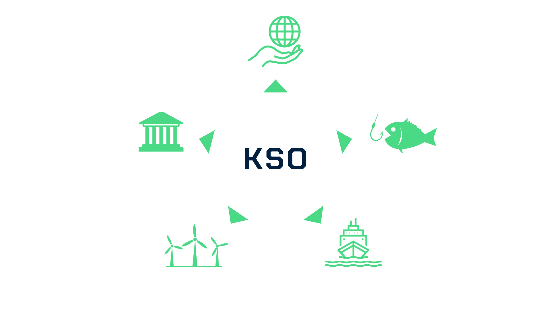
Our Solutions for :
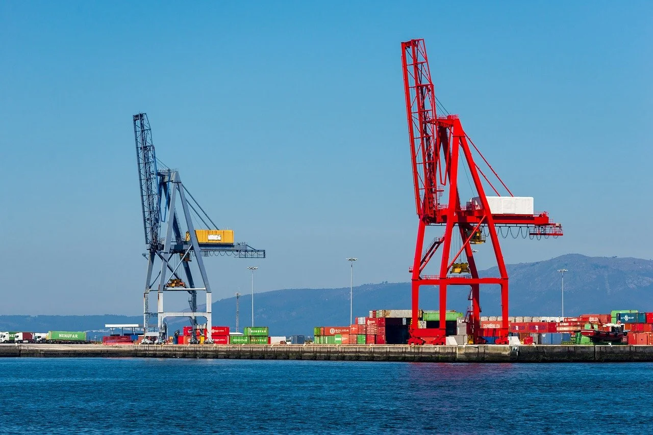

Optimisez le développement et la gestion de vos infrastructures maritimes grâce à KeySeaObs. Notre plateforme innovante offre une approche intégrée pour la planification, la surveillance et la protection de vos projets portuaires, terminaux, câbles sous-marins et plateformes offshore.
Optimisez la planification et la durabilité de vos projets éoliens en mer grâce à nos outils de cartographie et de modélisation des risques environnementaux. Notre plateforme intègre des données maritimes cruciales pour garantir des décisions éclairées et minimiser l'empreinte écologique des parcs éoliens.